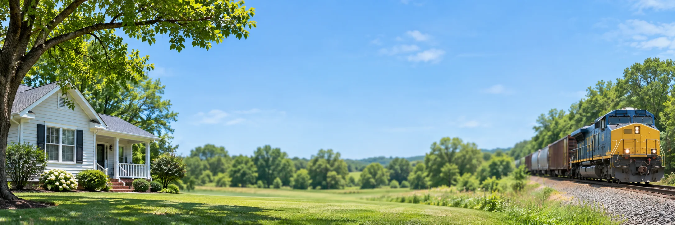
Road and railroad coverage
The address checker is for U.S. properties. Returned data depends on source coverage. Road counts come from FHWA HPMS records through USDOT/BTS ArcGIS services. Rail geometry and FRA crossing records describe different features: the closest mapped rail line and the nearest reported at-grade crossing can be different distances from a home.
Train counts are reported inventory estimates with a count year, not a live freight timetable. Crossing incidents refer to reported records at a crossing, not crime around the home. Quiet-zone designations restrict routine horn sounding under applicable rules; they do not eliminate train noise or emergency horn use.
Optional sound sources and environmental facilities
OpenStreetMap provides mapped bars, venues, emergency facilities and selected industrial or waste-handling sites. FAA/BTS records add airports and heliports. EPA ECHO air-program facility points identify facilities in that source. A nearby point does not establish operating hours, noise, pollution exposure, odor or noncompliance.
The aviation-noise overlay is a 2022 regional BTS model. It is not measured sound inside the house, a live flight path or a property-level noise certification. Nearby airports and modeled aviation noise are separate layers.
Local records currently cover New York City
The Local records & risks tab can show NYC 311 noise complaints, selected DDC public projects marked In Construction, and NYPD reported incidents. Other cities currently show an unsupported status. This is not national crime or construction coverage.
Complaint results use a recent 90-day window; incident requests use a 365-day window against the current-year source, which can omit prior-year coverage. Results can be capped at 200 records. Construction data does not include all private work. A complaint is not a verified noise measurement; a reported incident is not a conviction. No result or no record does not establish quiet or safety.
Address matching and privacy
Typed candidates use Photon/OpenStreetMap and require pin confirmation. Full addresses may be matched by the U.S. Census Geocoder. You can select a pin directly when matching fails. Map and data providers receive requested coordinates or map areas. Shared links contain the address label and coordinates. See the privacy policy.
Use the report to plan an on-site check
Compare source dates and locations, visit at several times and ask neighbors about specific activity. The report does not measure indoor noise, certify safety or predict future conditions.
Primary sources: FRA crossing inventory, FHWA HPMS, BTS transportation noise map, EPA ECHO and NYC Open Data.
Explore a U.S. address
Check dated public records, then verify conditions at the property.
Updated November 8, 2026.